Finding your way, Directions to Forks Washington
“How do I get to Forks, Washington?” is one of the most common questions we get when people contact the Forks Visitor Information Center.
By Land: Forks is located on US Highway 101, which crosses Washington State’s North Olympic Peninsula and follows the Pacific coast south through Oregon and California. We are about 56 mi/90 km from Victoria, BC, Canada (via ferry); 132 mi/212 km from Seattle (via ferry); 226 mi/364 km from Vancouver, BC, Canada (via ferry); and 251 mi/404 km from Portland, Oregon.
By Sea: Forks is about 56 mi/90 km from Port Angeles, home port to the Coho vehicle/passenger ferry which provides transportation between Victoria, BC, Canada, and Port Angeles. The trip across the Strait of Juan de Fuca takes about 90 minutes and offers gorgeous views of the area from the water.
By Air: Sea-Tac Airport, located near Seattle, about 144 mi/232 km from Forks, is the closest major international airport. A Budget Rent-a-Car branch (360-452-4774) is located at the airport in Port Angeles. Private flights to Forks Municipal Airport are another option.
Directions to Forks Washington:
In addition to our interactive Google map below, see the Official Washington State Highway Map, and Washington State Mileage Charts. Other useful online resources for area travelers include Washington State Ferries, Washington DOT Traveler Info and Clallam & Jefferson Transit.
From SeaTac International Airport going the northern route (through Port Angeles): On a good day, Forks is about 3.5 hours from Sea-Tac International Airport. And there are many ways and routes to get from Sea-Tac to Forks. With some planning, it is very easy to get here by rental car, bus shuttle and even charter flight!
If you rent a car at SeaTac and drive to Forks: A very easy way to get here without taking a ferry is the Tacoma Narrows route from Sea-Tac to Forks. This takes you I-5 South to 16W to 3N, then turn left and go over the Hood Canal Bridge on 104W, then take 101W and stay on that until you get to Port Angeles, where you will turn left (follow sign to Forks), then you will stay on 101 until you reach Forks. These directions can be downloaded on Google Maps.
From SeaTac International Airport going the southern route: This route takes you through Olympia and Aberdeen, then up along the coastline. These directions can be downloaded on Google Maps. You can also travel over the Bainbridge Island Ferry from downtown Seattle.
From Portland, Oregon: Take I-5 north towards Seattle. Exit Hwy 12, then Hwy 101. These directions can be downloaded on Google Maps.
Once you arrive in nearby Port Angeles:
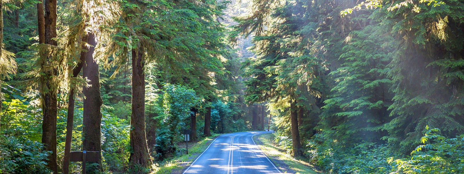
There are a few “Twilight” spots to check out like Bella Italia (where Edward and Bella had their first date), the movie theater (currently in transition) and the book store – all featured in the books. You will then travel the 56 miles to Forks where you will see the beauty of Lake Crescent while traveling through the Olympic National Park and Forest.
Transportation Services Available:
Clallam Transit Strait Shot From Bainbridge Island Ferry: You can take the Clallam Transit Strait Shot from Bainbridge Island Ferry to downtown Port Angeles. When you arrive in Port Angeles, you can rent a car (Budget, Enterprise) or take Clallam Transit (see below) to Forks.
Clallam Transit – This is public transit and operates limited hours. The Strait Shot runs daily, but there is no regular bus service on Sunday and some holidays. Clallam Transit is a member of the Forks Chamber of Commerce.
Budget Car Rental – There is an office in Port Angeles at the William Fairchild Airport that is locally owned. Their phone number is 360-417-0700 or 800-457-4492. It is recommended to call prior to arriving.
VISIT OUR SPONSORS: