Ozette Wilderness Hike
Travelers will find the northwest entrance to Olympic National Park and 57 miles of coastal wilderness at Lake Ozette. (Take Hwy 113 & 112 from Hwy 101 past Clallam Bay, turning southwest onto the Hoko-Ozette Road, follow 21 miles to the Ozette Ranger Station).
Explore The Ozette Wilderness:
Cape Alava:
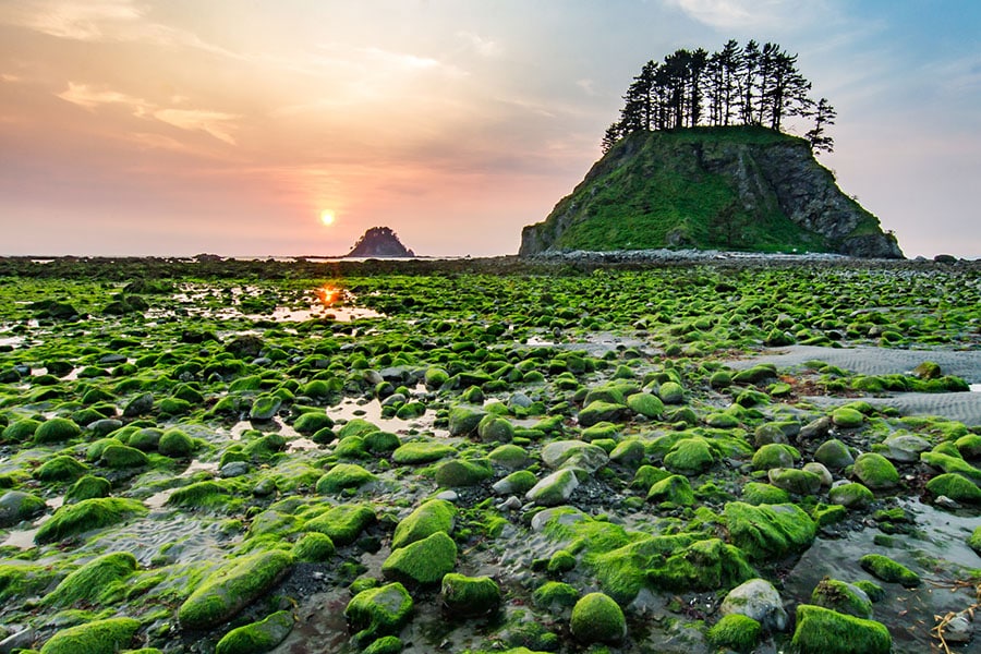
Three miles of plank-and-stair trail lead the hiker to Cape Alava, with rocky shores and reefs to explore at low tide. Cape Alava is near the site of an ancient Makah village partially buried in a mudslide over 500 years ago. Artifacts recovered from this site can be viewed at the Makah Museum in Neah Bay. The site is now closed and is marked by a memorial kiosk. Look for dozens of Indian petroglyphs at Wedding Rocks, midway between Cape Alava and Sand Point.
Sand Point:
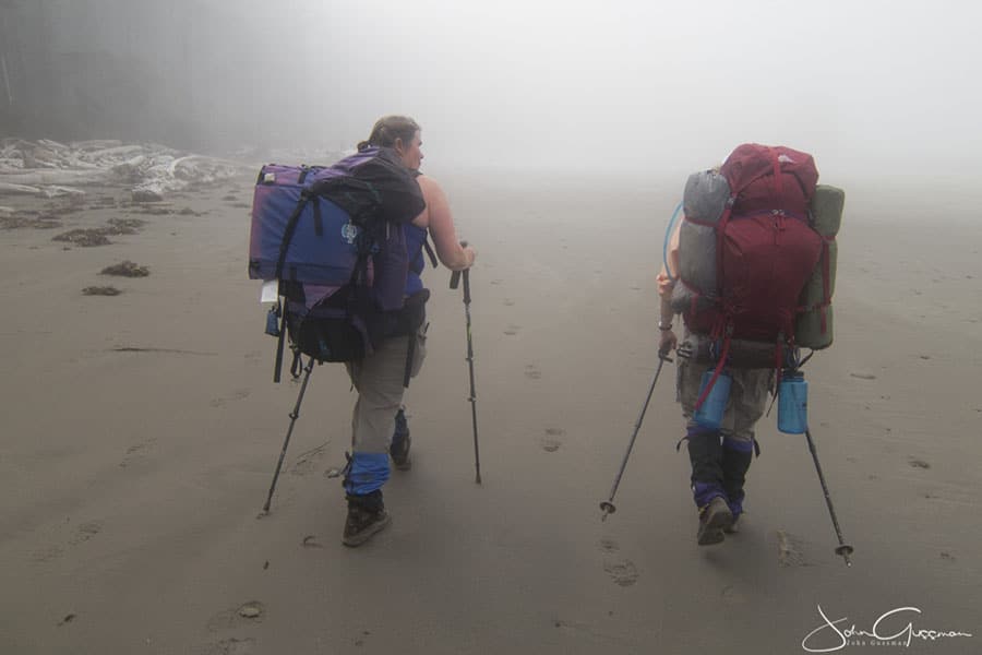
Sand Point, the southern tip of this 9-mile triangular trail, offers agate hunting and is home to a large sea otter population. A turn inland will lead you a level 2.8 miles back to Lake Ozette via another planked trail. The cedar plank walkway can be slick; soft-soled athletic shoes are often preferred over vibram boots. Be sure to check a tide table to time your beach walk with an outgoing tide, and carry the 10 hiking essentials – and a camera as seals, deer, eagles and perhaps osprey, otters and whales may be there, rain or shine!
Lake Ozette:
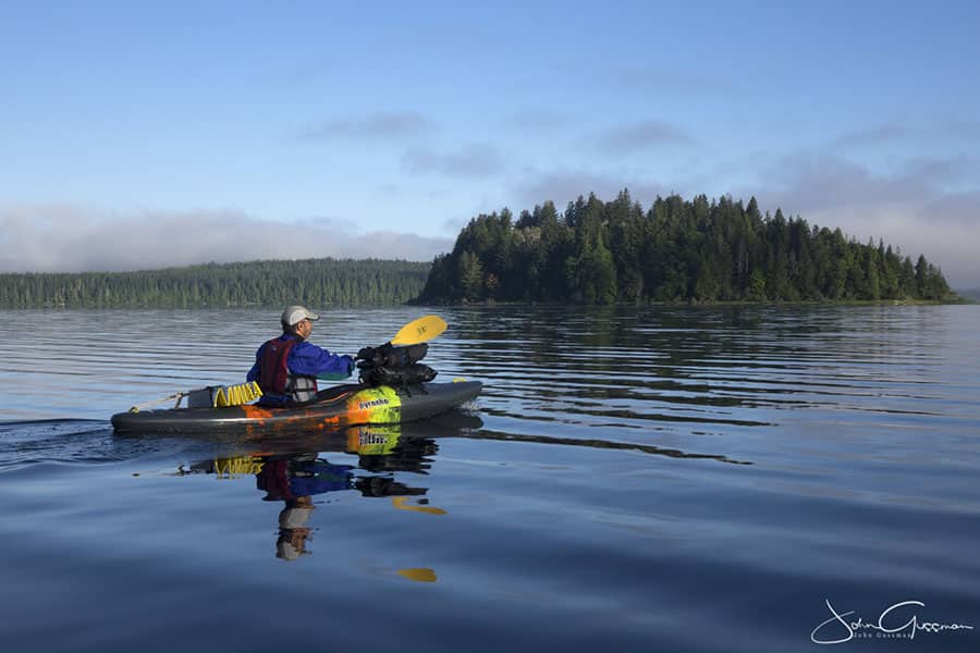
Lake Ozette is the largest unaltered natural lake in Washington state at 8 miles long and 3 miles wide. The Makah name for Lake Ozette was Kahouk meaning “large lake”. Lake Ozette is contained within the northern boundary of the Olympic National Park’s coastal strip.
There’s a campground at Ozette and cabin rentals and additional campsites are available just outside the park boundary. Bird watching, kayaking, and cooling off in the lake after a hike are favorite lake activities.
Visit the NPS Ozette page for more info.
Day Four Photo Gallery:
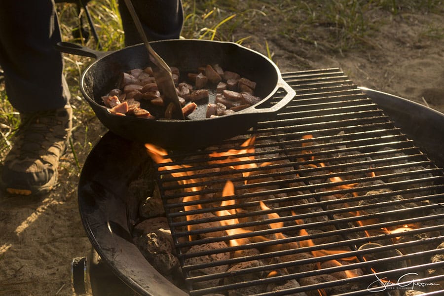
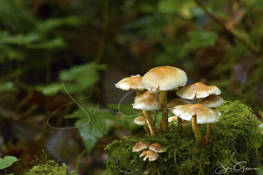
Enjoy these images taken in the Ozette Wilderness Area! Click to view larger.
